Import a list of points
This function imports a list of points (in *.txt, *.csv, *.tsv formats) with labels and 3D coordinates.
Three formats are available:
- Comma Separated Value (*.csv)
Comma "," is used as separator.
Pt000,-13.9153,-15.7213,11.9317
Pt001,-36.6361,15.7372,6.3014
Pt002,-15.1782,6.6534,8.5348
- Tab Separated Value (*.tsv)
Tab "Space" is used as separator.
Pt000 -13.9153 -15.7213 11.9317
Pt001 -36.6361 15.7372 6.3014
Pt002 -15.1782 6.6534 8.5348
- Text (*.txt)
Tab "Space" is used as separator.
Pt000 -13.9153 -15.7213 11.9317
Pt001 -36.6361 15.7372 6.3014
Pt002 -15.1782 6.6534 8.5348
Parse point list dialog
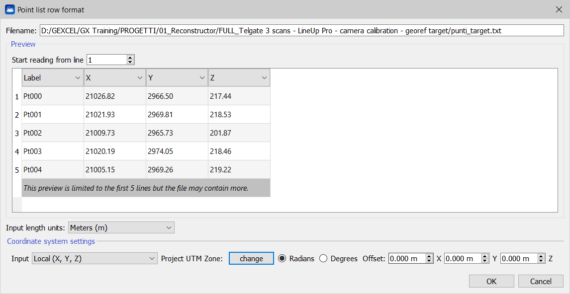
This dialog implements a general-purpose tool for parsing a text file (*.txt) with a list of points.
The assumption is that each row of the text file contains one point. The dialog allows you to define how you want to interpret the columns of the text file. In the example above, the first column contains the label of the point, the three next columns contain the 3D coordinates of the point, and columns five and six contain the X and Y coordinates of the point in the range image (or in any image).
You can customize the role of each column of the file by clicking on a column and dragging & dropping it
![]() In some cases it is useful to invert X and Y columns to adapt the importing reference system to the project one, when regional conventions are different, by dragging&dropping the column (not selecting the title row) you want to move in the right order.
In some cases it is useful to invert X and Y columns to adapt the importing reference system to the project one, when regional conventions are different, by dragging&dropping the column (not selecting the title row) you want to move in the right order.
![]() The preview of the list of points is limited to the first 5 lines to but the file may contain more.
The preview of the list of points is limited to the first 5 lines to but the file may contain more.
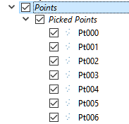
At the end of the import process, the points are merged in the Points group of the Project Window.